History
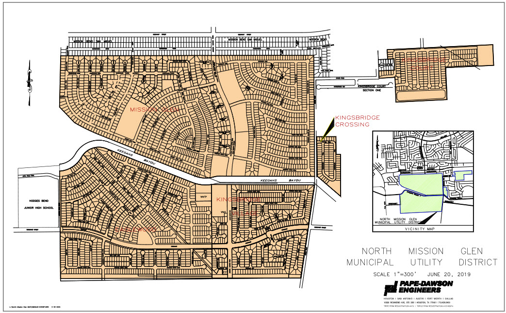
North Mission Glen Municipal Utility District, a political subdivision of the State of Texas, was created by the Texas Water Commission, predecessor to the Texas Commission on Environmental Quality (the “TCEQ”), on December 10, 1980. The District contains approximately 669.47 acres of land. The District is located entirely within the extraterritorial jurisdiction of the City of Houston, Texas, approximately 18 miles west of the central business district of Houston, Texas, substantially in the northeastern portion of Fort Bend County, Texas (approximately 3.709 acres in the District lie within Harris County). The District is bounded on the north by Mission Bend Municipal Utility District No. 1 and on the east by Richmond-Gaines Road. Kingsbridge Municipal Utility District lies to the east of the District. Access to the District is provided through Mission Bend Municipal Utility District No. 1 by way of Addicks-Clodine Road and along the west boundary of Kingsbridge Municipal Utility District by way of Richmond-Gaines Road. The entirety of the District is located within the boundaries of the West Keegans Bayou Improvement District (the “Drainage District”), which provides major outfall drainage and flood protection for approximately 2,352 acres of land, and thus all of the land located within the District is subject to taxation by the Drainage District. The Drainage District has issued bonds to finance certain drainage improvements to Keegans Bayou which benefit the District.
As of October 1, 2017, the District contained 2,894 homes. The District contains approximately 669.47 acres of land. The development of the entirety of the developable land located within the District (approximately 643.58 acres) is complete as is described below. Such approximately 643.58 acres have been subdivided into (i) 2,894 single-family residential lots (approximately 632.36 acres) on all of which lots single-family residences have been constructed and all of such 2,894 single-family residences have been sold to home purchasers, (ii) approximately 10.38 acres which have been developed for commercial usage, and (iii) a recreational reserve containing approximately 0.84 acres. The balance of the land located within the District is contained within road rights-of-way, easements, or District plant sites; is devoted to park, recreational or open space usage; or is otherwise not available for development, including certain acres contained within the platted areas of subdivisions that have been developed in the District.
District Map